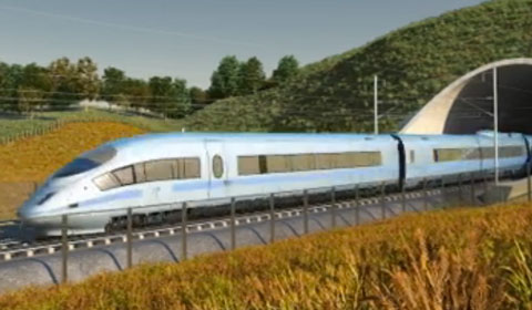
While residents of the small town of Toton will be welcoming the announcement of a new station with high-speed connections to London, Birmingham, Manchester and Leeds, communities north of the station will be wondering what effect the new High Speed 2 rail line will have on them.
Immediately north of Toton, the M1 will be realigned for a distance of 1700 metres and a 950 metre viaduct constructed over the River Erewash flood plain, the Erewash Canal, Stanton Gate and the Erewash Valley railway line.
The next village along the line to face upheaval will be Strelley, where a 770 metre ‘cut and cover’ tunnel will be built under Main Street, close to Strelley Hall.
Beyond Strelley, the line will cross the A610 on an 85 metre bridge, again south of the M1, before bridging the B600 Kimberley road next to the M1 in Nuthall. The line will then pass between Hucknall and the M1, bridging the B6009 Hucknall road, before cutting a swathe through High Park Woods, an area that is still recovering from the effects of the recent M1 widening scheme.

The B6018 Kirkby rood will be bridged north of Selston, followed by a 450 metre viaduct spanning the River Erewash flood plain and the Erewash Valley line. The B6019 will be bridged near Langton Hall, with a further bridge over Maghole Brook.
The line then heads north towards Hilcote and Huthwaite, passing immediately behind the East Midlands Designer Outlet. The A38 is passed under shortly after the South Normanton / Hilcote turn offs, before a 50 metre bridge spans the River Amber flood plain, and the line heads off to cut between Tibshelf and Tibshelf Wharf.
Needless to say, there is going to be years of disruption for a substantial area either side of the new line, and compensation payments will be offered to those affected. Not only is the line going to have an effect on house prices, there is also noise and light pollution to take into consideration. Wildlife will be badly affected.
There will be at least three more governments before the line is completed in 2032, and any one of these could pull the plug on the project. Already groups opposed to the line are gaining numbers, and areas like Selston and Nuthall will be quick to join the fight.
Documents:
HS2 initial preferred route plan and profile maps
Route section key plan – Trowell to Killamarsh
Route section plan and profile – Trowell to Bilborough
Route section plan and profile – Bilborough to High Park Wood
Route section plan and profile – High Park Wood to Pinxton
Route section plan and profile – Pinxton to Tibshelf
Websites:
High Speed 2 Limited
Department for Transport
Related articles
- HS2 and all that (mikepeat.blogspot.com)
- 20 reasons why it can take 20 years to build a railway (bbc.co.uk)
- HS2 puts unlikely spotlight on Toton (bbc.co.uk)
- Welcome to the Metropolitan Borough of Nottingham and Derby (ioanreedaspley.wordpress.com)
- HS2 offer cash incentives to property owners (savills.co.uk)

[…] HS2 – what it means to the neighbourhood (alanrowley.info) […]
[…] HS2 – what it means to the neighbourhood (alanrowley.info) […]
[…] HS2 – what it means to the neighbourhood […]